


 メイン 地球科学のための R
maps & mapproj パッケージ メイン 地球科学のための R
maps & mapproj パッケージ | 投稿するにはまず登録を |
| フラット表示 | 前のトピック | 次のトピック |
| 投稿者 | スレッド |
|---|---|
| 森 | 投稿日時: 2008-1-22 16:34 |
登録日: 2004-7-29 居住地: 地球 投稿: 303 |
maps & mapproj パッケージ R の地図を描くためのパッケージ maps と、地図投影のためのパッケージ mapproj を入れた。
描いた地図を図法ごとに描くと次のようになる。 (描画のためのコードはこちら) ・ aitoff 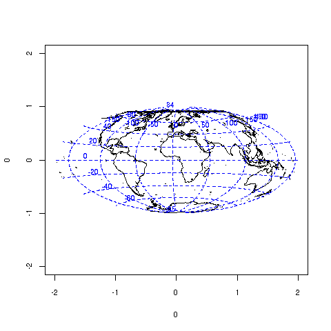 ・ albers(30,60) 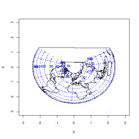 ・ azequalarea 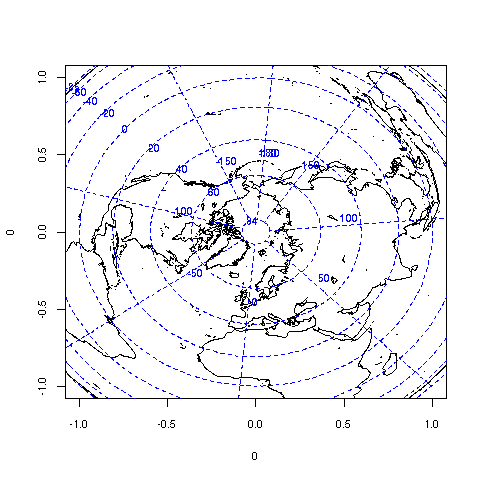 ・ azequidistant 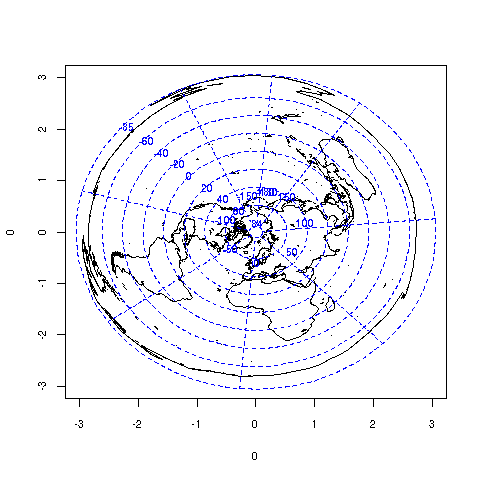 ・ bicentric(30) 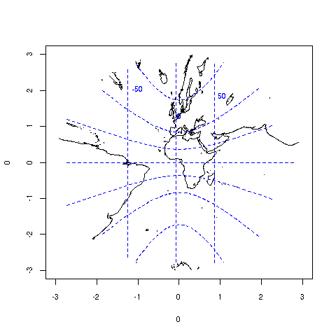 ・ bicentric(60) 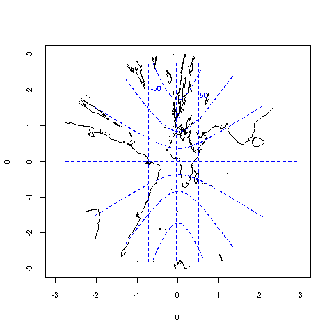 ・ bonne(60) 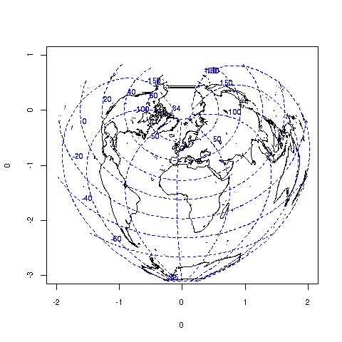 ・ conic(30) 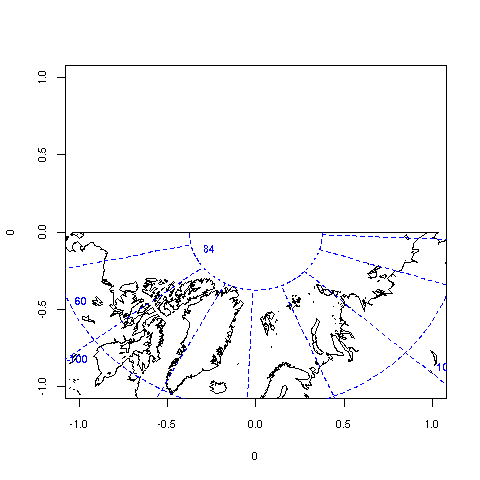 ・ conic(60) 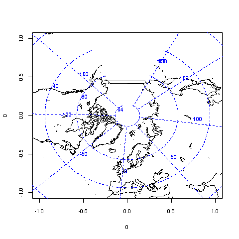 ・ cylequalarea(0) 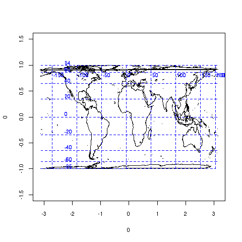 ・ cylequalarea(60) 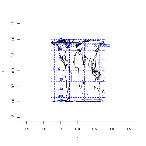 ・ cylindrical 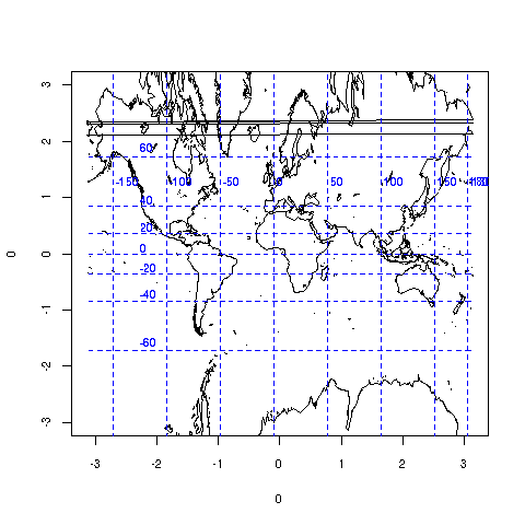 ・ eisenlohr 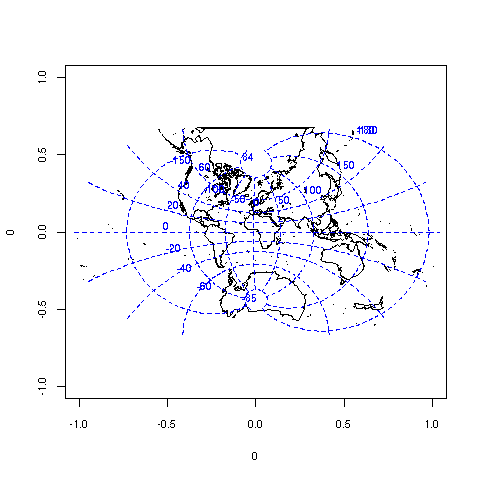 ・ elliptic(30) 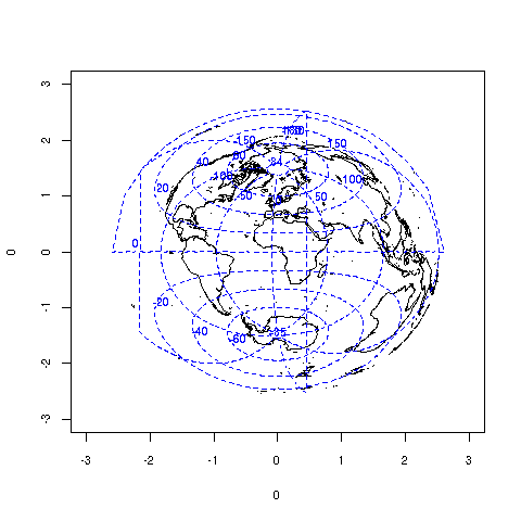 ・ elliptic(60) 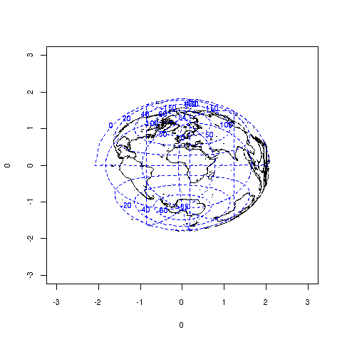 ・ fisheye(1.5) 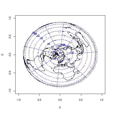 ・ fisheye(2) 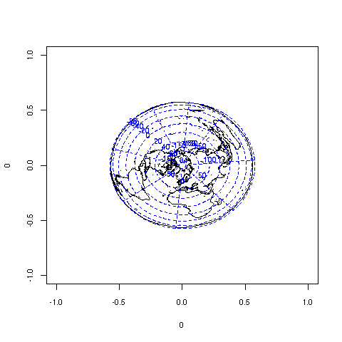 ・ gall(0) 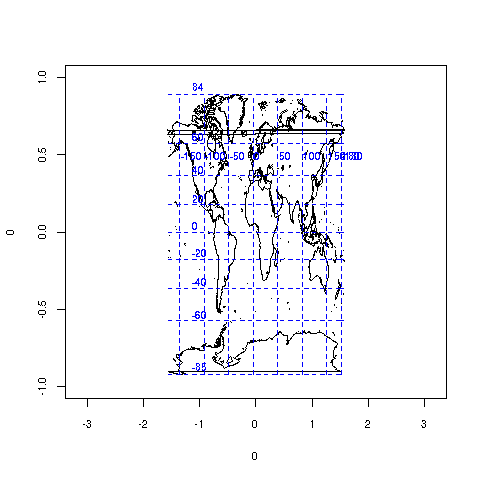 ・ gall(60) 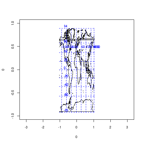 ・ gilbert 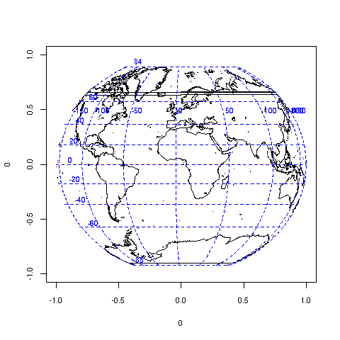 ・ globular 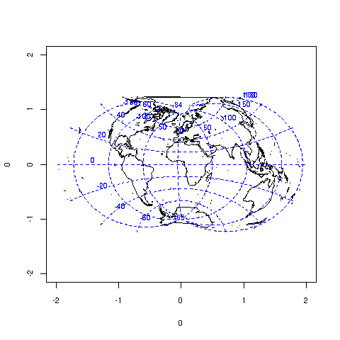 ・ gnomonic 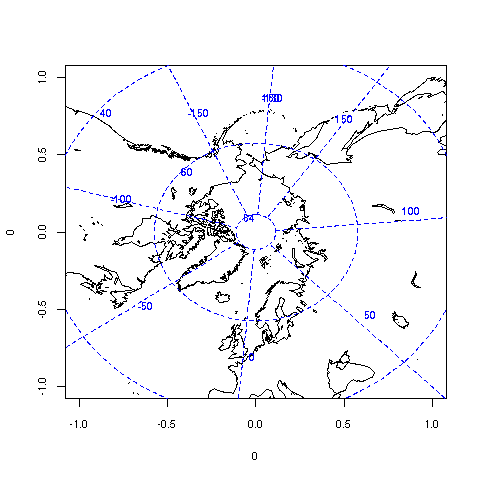 ・ guyou  ・ harrison(2,10) 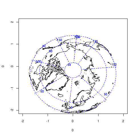 ・ hex 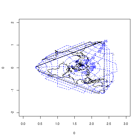 ・ homing(60) 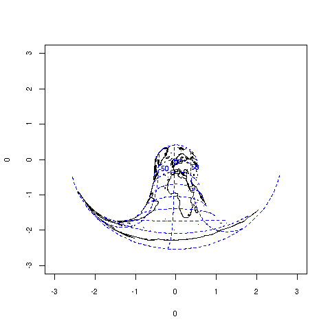 ・ lagrange 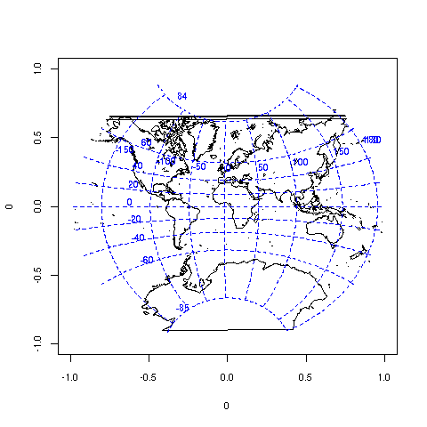 ・ lambert(30,60) 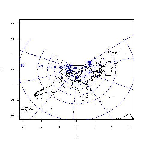 ・ laue 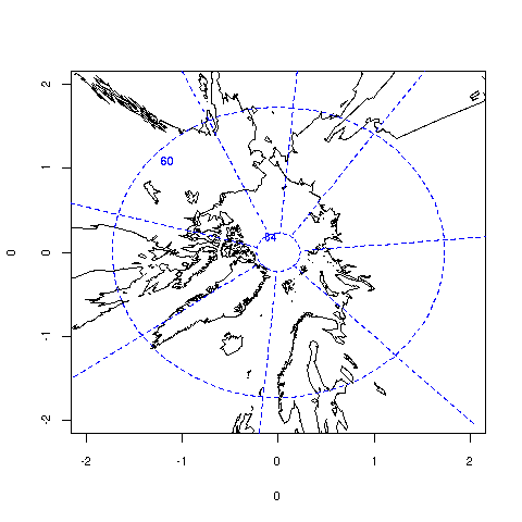 ・ lune(10,60) 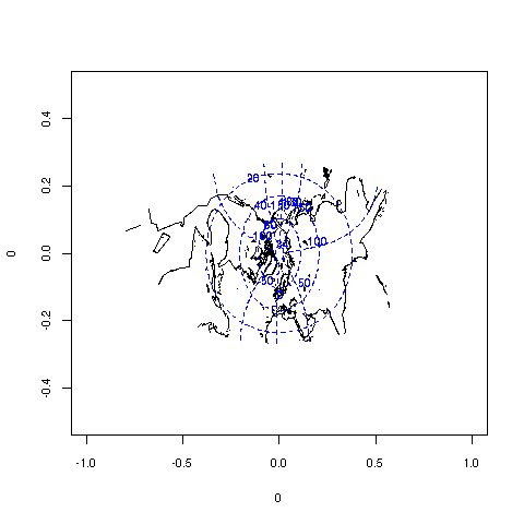 ・ mecca(60) 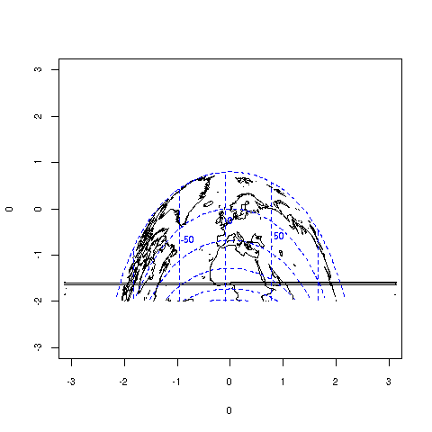 ・ mercator 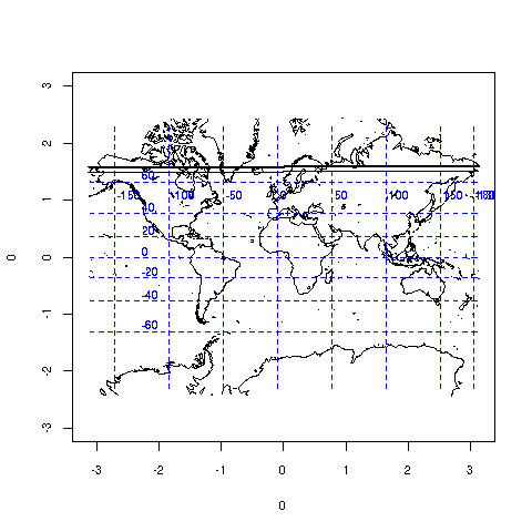 ・ mollweide 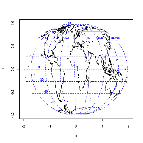 ・ newyorker(10) 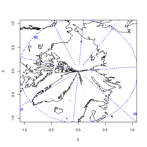 ・ orthographic  ・ perspective(10) 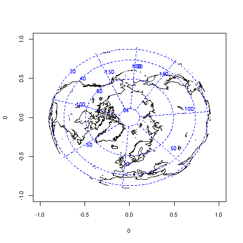 ・ perspective(2) 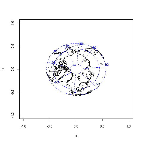 ・ polyconic 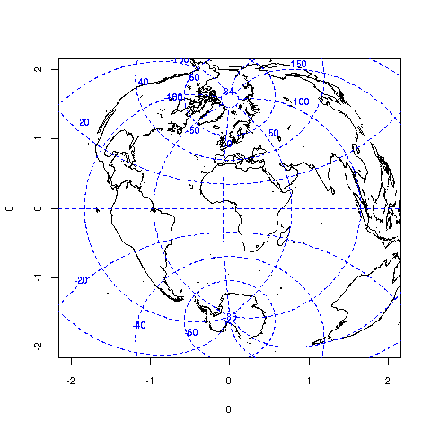 ・ simpleconic(30,60) 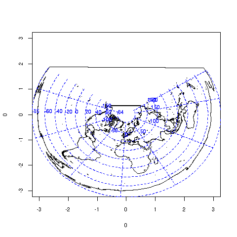 ・ sinusoidal 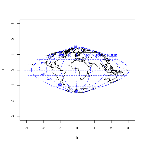 ・ square 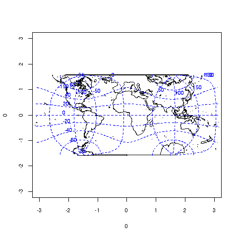 ・ stereographic 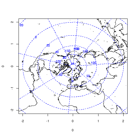 ・ tetra 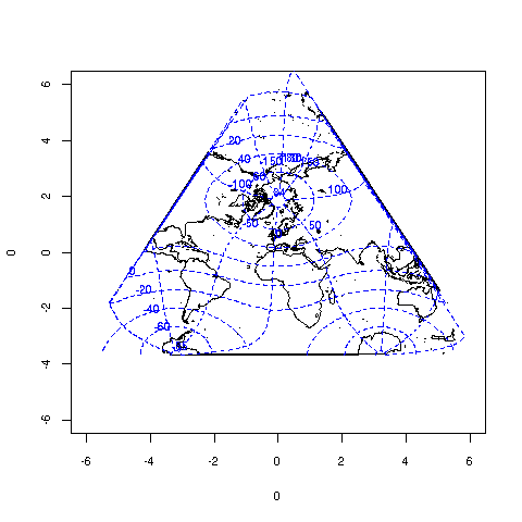 ・ trapezoidal(30,60) 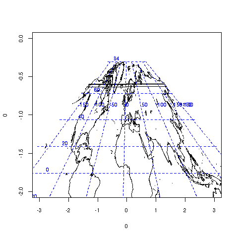 ・ vandergrinten 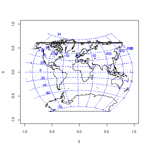 |
| フラット表示 | 前のトピック | 次のトピック |
| 題名 | 投稿者 | 日時 |
|---|---|---|
| » |
森 | 2008-1-22 16:34 |
| |
AM | 2008-1-22 17:21 |
| 投稿するにはまず登録を | |